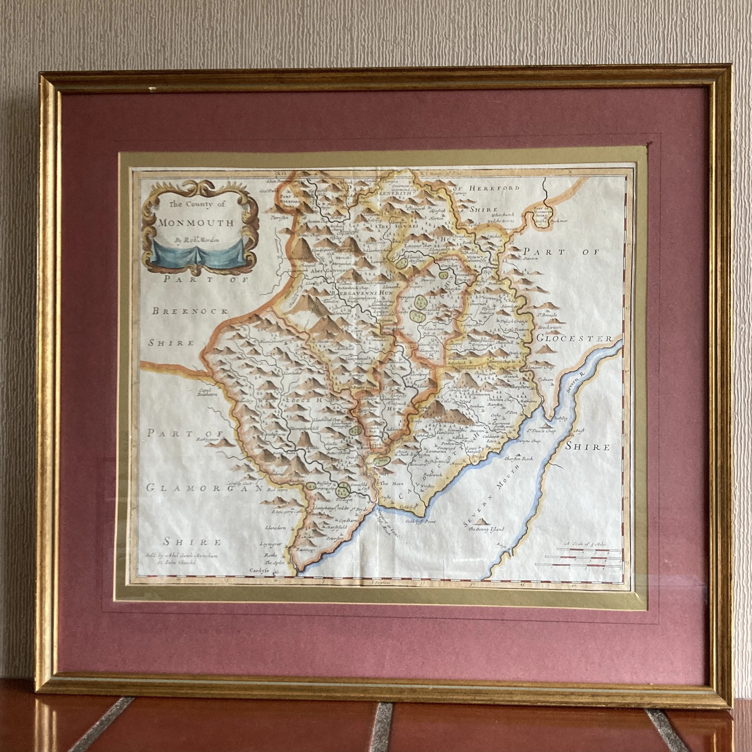
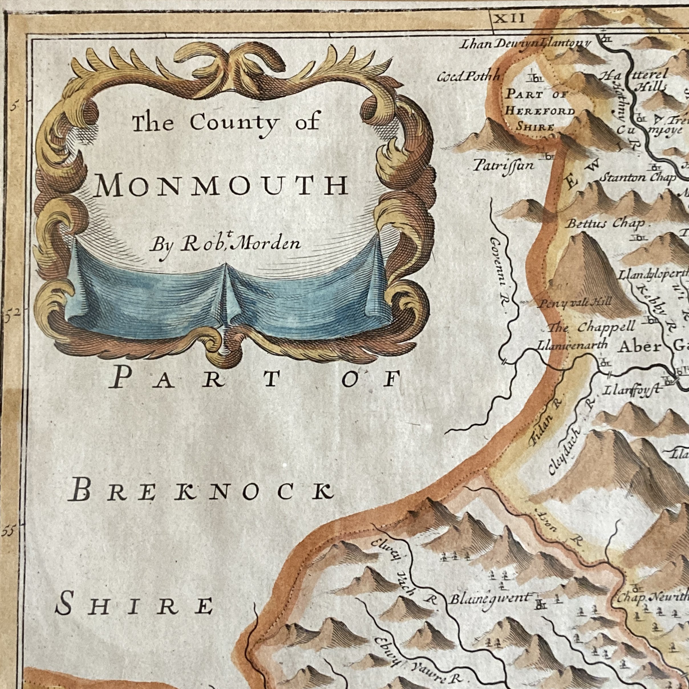
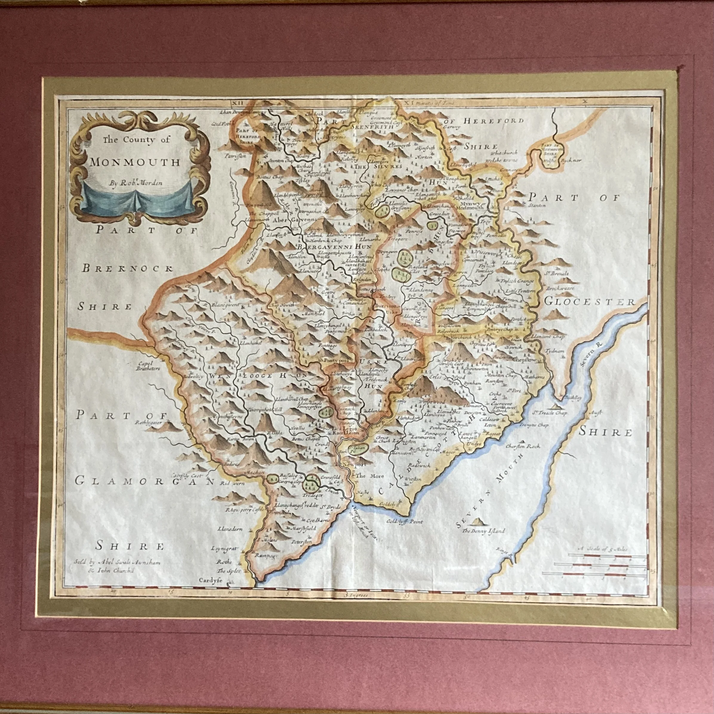
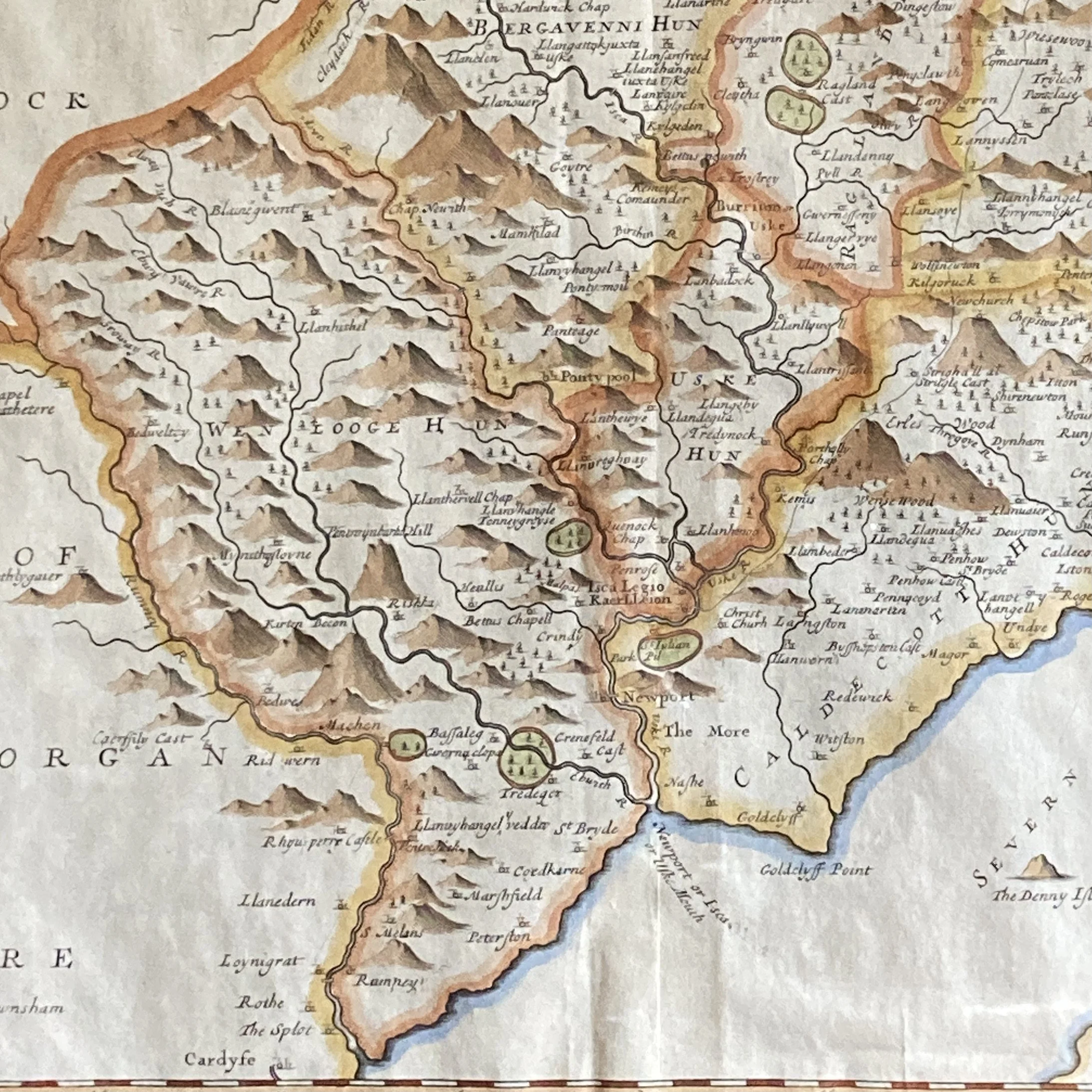
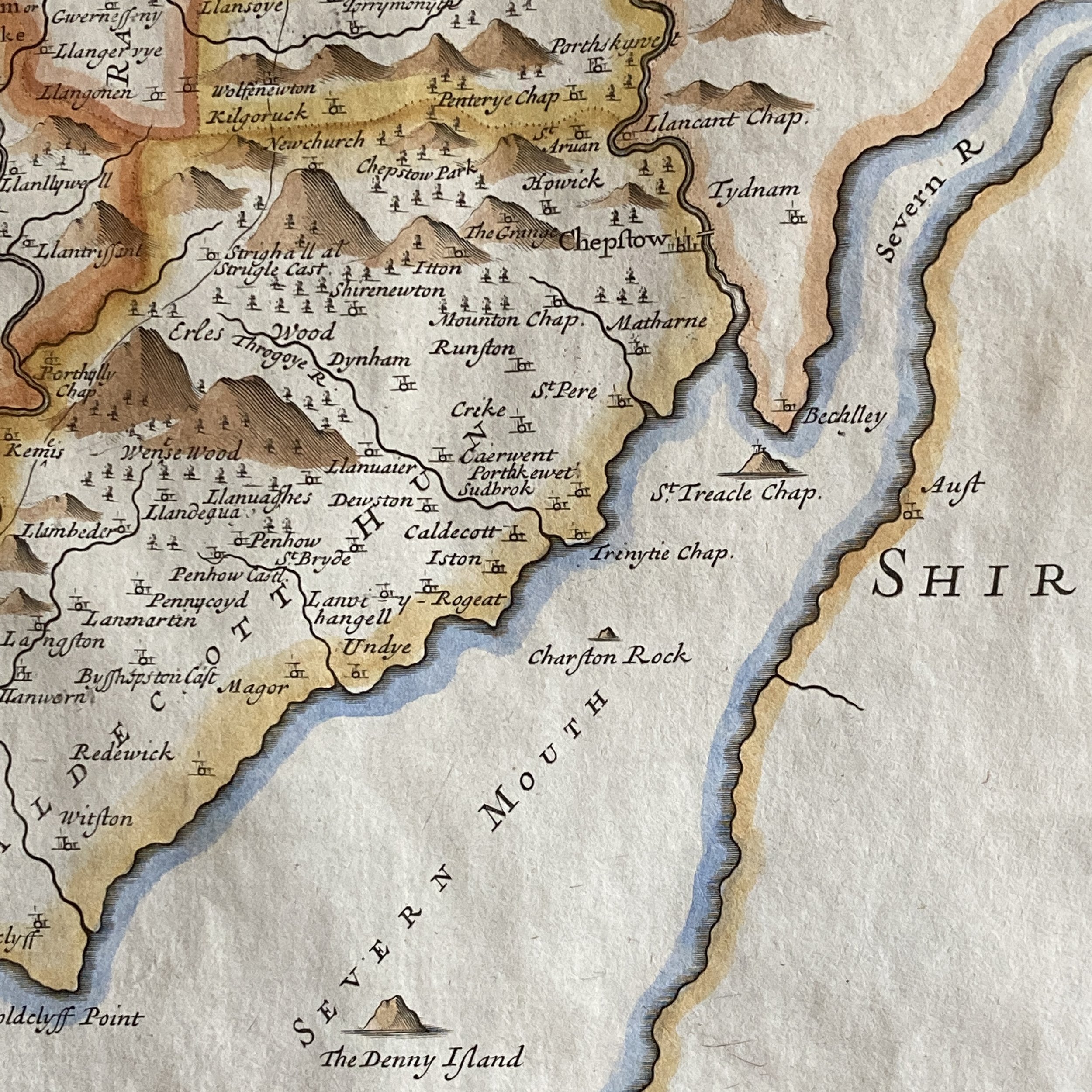
The County of Monmouth by Robert Morden
“The County of Monmouth,” originally crafted by cartographer Robert Morden in 1695, is a captivating hand-coloured map that stands out for its historical and artistic significance. This particular edition, reproduced in Camden’s Britannia around 1722, offers a glimpse into the cartographic practices of the early 18th century. The map is particularly remarkable for its use of three distinct mileage scales, a feature that underscores the meticulous attention to detail and the precision that was essential for navigation and travel during the period. The vibrant hand colouring enhances the visual appeal, making it not only a valuable tool for understanding the geography of Monmouth County but also a striking piece of art that captures the essence of the landscape in a bygone era. Its enduring allure lies in its blend of utility and beauty, serving as a testament to the craftsmanship of Robert Morden and the rich cartographic history of the United Kingdom.
Frame: 22 1/4 inches x 20 1/4 inches (56.5 cm x 51.5 cm)
SOLD | Circa 1722 | Ref: SA202
